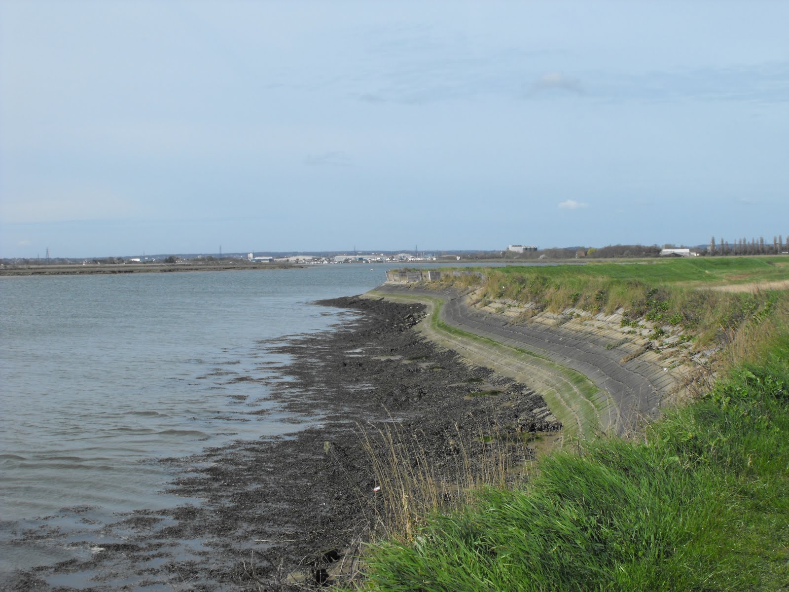
 The north bank of the Roach stretches from Stambridge Mills near Rochford north eastwards to Wallasea Ness where the river flows into the Crouch, a distance of about eight miles. The Roach is joined by its major tributary, Pagelsham Creek, just north of Potton Island. It is possible to walk uninterrupted along the sea wall to Pagelsham and continue north west by Pagelsham Creek to Wallasea Island. I made this walk over a couple of days with varying degrees of sunlight but the same chilly easterly breeze.
 It’s very peaceful by the river, with just birdsong and waves lapping on the shore for company. The north bank was more popular with walkers than the south bank but I encountered only a few. Next to Stambridge Mills is Broomhills, the former home of Captain John Harnott, founder of the Thames River Police. A mile or so further along is the large inlet of Bartonhall creek, now almost silted up. The sea wall is a bit wild and overgrown in places. The next inlet, Stannett’s creek has been damned and is now a freshwater lagoon that was humming with birds, large and small.
 The only village close to the Roach is Pagelsham, divided in Churchend (near the Church) and East End (in the east). There are lots of old interesting houses dotted about; Churchend has several white weatherboarded cottages and pub, the Punch bowl; Jubilee cottages really stand out with their bright colours and the church was very pretty with a very welcome seat. To reach Pagelsham East end you have to follow the footpath through the boatyard back to the village about a quarter of a mile away.
  Here I stopped for lunch at the other pub, the Plough and Sail, owned by a member of the Oliver family, the pub mafia of Essex. The pub is well known for its food and was almost full by 12.30pm so I was lucky to get a seat. Not so lucky as it turned out as I broke a tooth on a piece of French bread but luckier than my neighbour who found a hair in his bubble and squeak. If you still fancy giving the place a try, either arrive early or book.
 The last few miles past Pagelsham Pool and along Pagelsham creek are a bit of Essex wilderness. Looking mostly east, are very big skies filled with the river and the empty islands of Wallasea, Potton and Foulness, and those mysterious military buildings dotted on the horizon. There were a few craft moored in the river, either romantic looking sail boats or interesting wrecks. Turning north towards Wallasea, the occasional sail drifted through the landscape on the river Crouch and the yacht club at Burnham gleamed in the sunshine.
 My base for this walk (and several others) was the Riverside Holiday Village on Wallasea Island, a large static caravan site with a few pitches for tourers. I don’t usually choose to stay on these sorts of sites but this one was clean and quiet, with all the usual facilities and some unusual ones like mobile library stops, wall-to-wall ducks and nesting swans.
To see more picture of the Roach Estuary click here
To see pictures of the Thames Estuary click here
Click here for directions and map for a nice long walk to Pagelsham and the Roach Valley.


